
In response to Babasiga's comments on captioning images. Maybe I will try and superimpose the Vanua Levu coastline with Geelongs.
On another note, here's an Academic paper on Land Information Systems application in rural Fiji. A resounding wake up call for the powers that be to ensure all the landowners in Fiji, have full access to such software to ensure that, the official land boundaries are factual correct especially in the ownership of land titles.
Fiji's Land Department and Native Lands Trust Board obviously have different perceptions on who should have access to the L.I.S software. Fiji Lands Department's former LIS specialist (Mele T. Rakai) believes in a applying caution to that respect, in a paper called "Implications of Incorporating Customary Land Tenure Data into Land Information Systems".
Here's an excerpt from M. Rakai's paper:
Another concern with incorporating attributes of customary tenure into an LIS, is that it could be a potential source of conflict and dissension. Conflicting opinions that have existed since the imposition of a standard land tenure system into the country early this century, would undoubtedly resurface, once inquiries for data capture commenced.
For instance people today still have varying opinions of their origins, their land rights, their chiefly entitlements, and so on, even to the extent of privately disputing, within their own communities, the written evidence in the Vola ni Kawa Bula (VKB), and the Tukutuku Raraba. (The VKB is the official Register of Fijians, while the Tukutuku Raraba records the historical origins of each tribal group, and how they came to settle into a particular area in Fiji).
[...]Finally another possible social cost of incorporating customary land tenure into an LIS could be the reduced dependency of Fijian society on the elders of the society for information on land matters. Traditionally the elders have always held a specific, even indispensable role to play, in matters concerning land.
Those sentiments are undoutedly profound and true. Albeit in lands that have a dispute in ownership like the controversial native land cum freehold Yaqara and Mago Island.
The main concern is that the basic facts have not been even accessible and further undermines the basic role of Native Land Commission inconjuction with the records with the Native Fijian registry.
If only a select few are able to use those records, most of whom do not have ownerships claims; apprehensively defeats the purpose of collating Land Information. If disputes are present, it is incumbent on all the stakeholders to establish the truth. The basic datum of truth cannot be achieved if information is perpetually kept under lock and key. Precisely the reason why the digital divide is artificially induced in Fiji.
The same reason why alternative projects like this NGO led one, was erronously perceived as a threat by some entrenched institutions who govern land issues in Fiji. As a result, the grassroots population have been denied tools that could provide social mobility.
Ovalau map
Elders Double Check
Multi-Disciplinary approach
Multi-Generational appeal
The full report(PDF format)on the Ovalau LIS project is here. In a certain manner, this Ovalau project actively erodes the view of Mele Rakai, who basically issued caveats on using LIS applications with the traditional family units in Fiji. By inviting all participants as the Ovalau project did; creates a sense of purpose that inhibits any malicous intent by the use of transparency and exceptional project management.
Here's a report on Locally Managed Marine Areas activities in Fiji. (PDF format)
Another article evaluates the environment degredation caused by urbanization, on native fishing grounds in Fiji's peri-rural areas.
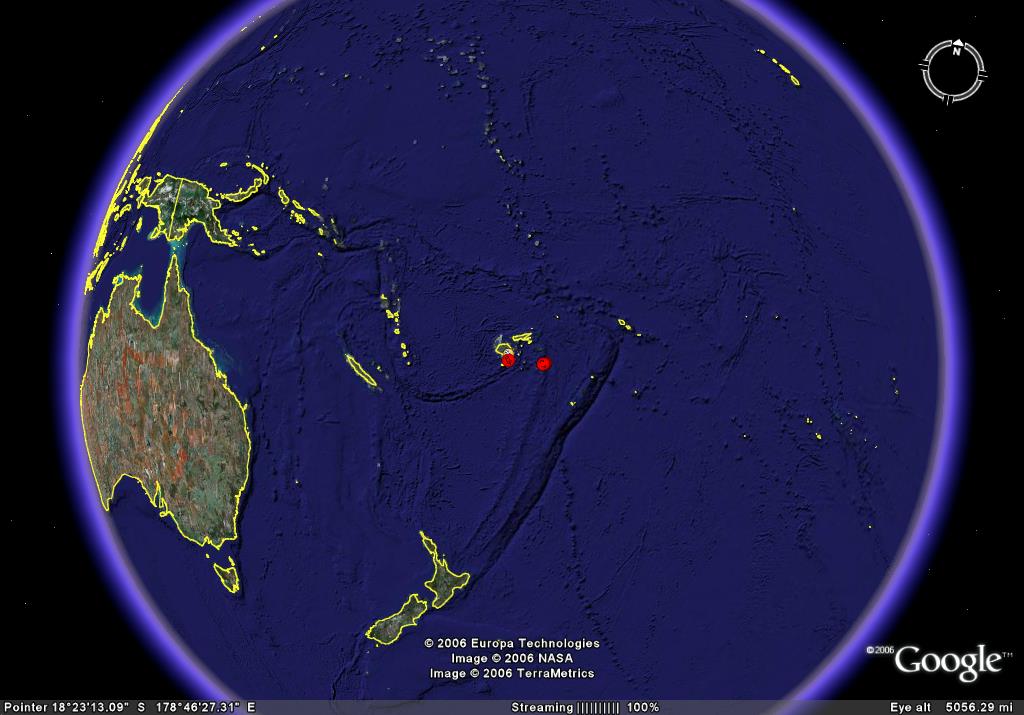
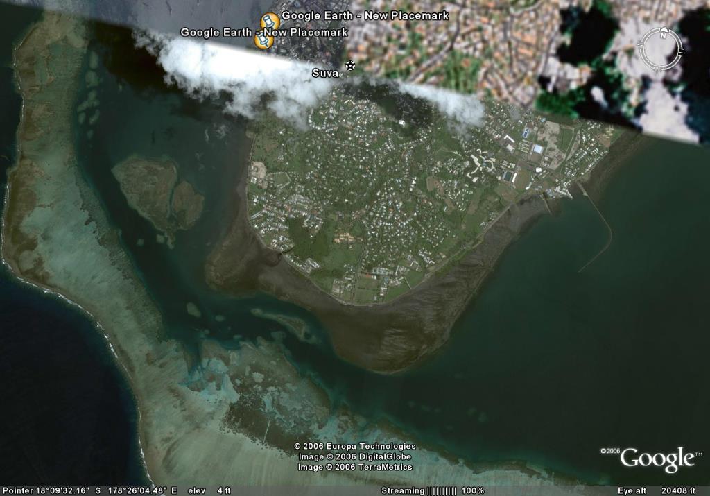
God's view of the Suva Peninsula.
Club Em Designs
Lots of stuff to argue about here!
ReplyDeleteI. God's view of Suva - well, I don't think that God is up there - he is more likely to be alongside the beggar in Victoria Parade!
2. Do the spy satellites see into my back yard, see the bungalow, the cat on the mat, the eye of the cat?
3. I read the research doc on land in Fiji. Do 'outsiders' have a clearer view than 'insiders'? There are mistakes in it I'm sure - e.g. NLTB do not take 25% these days and if land had not been organised in this paternalistic way, well, it probably would not have been saved for the indigenous people. Anyway, it's good to look at the mapping because there must be many anomolies about boundaries, ownership, etc.
W.
Spy satellites? Perhaps the cat got my tongue on the issue.
ReplyDeleteOn NLTB operations, they are now reeling from the Monasavu Landowners trust fund which basicallys omits their organization from the equation. A new paradigm shift for Fiji native land and mataqali centric negotiations?